
Search Rochester Streets by Address
For a current Rochester street question, use a repeatable address chain instead of treating one screen as a household list. The City of Rochester property interface starts the chain for a city situs, while Monroe County Real Property Tax Services, known as RPTS, confirms the county assessment record. A situs address is the parcel's physical location. It can differ from the mailing address used for tax correspondence. The name on an assessment card identifies an assessment interest and sale history, not every person who may be connected with that address.
- Enter the physical address in City Property Information. Save the address as displayed, the SBL identifier, and any owner or last-sale reference.
- Check the same place in Monroe County RPTS and the county parcel map. Confirm the municipality and parcel before comparing names.
- Use the RPTS sale book and page as a lead in SearchIQS, the Clerk's land-record index. The recorded instrument is the place to check transfer parties and the legal description.
- For the rest of a street, pan and click parcels in the GIS viewer. Record each parcel ID separately rather than assuming similarly numbered parcels share a history.
- For older address occupants, use the address sections and house directories at Rochester Public Library, then check the alphabetical section for the same year.
This order preserves the handoff from a modern address to a parcel, a transfer reference, and then an historical household source. The state voter tool is only a registrant's own status and poll-site check. It is not a public street roster.
Rochester Street Directory Property Fields
The city property interface has three verified entry points: Address, Owner, and SBL. SBL is the section, block, and lot-style parcel identifier used in the city interface. Address works best when the search starts with the situs rather than a mailing label. Owner is useful after a parcel card gives a name. SBL is the most stable choice when a street label has changed or a parcel has been split or merged. The visible result areas include assessment and tax information, details, photos, water, last sale, zoning, code enforcement, nuisances, tax exemptions, and more.
| Address | Finds a city property from the physical street address. |
|---|---|
| Owner | Offers a name-based route to a city parcel; confirm with the parcel identifier. |
| SBL | Uses the city section, block, and lot-style identifier for a parcel-level check. |
| Last Sale | Provides a sale lead that can be compared with the Clerk's recorded land record. |
| Code and zoning tabs | Supply municipal context, not a replacement for a deed or a current-person list. |
The City Property Information screen is shown on the City of Rochester property-information page.
Its Address, Owner, and SBL paths make it a useful starting point, but the city cautions that its data is not a final title or closing source.
Rochester Street Directory GIS Layers
The Monroe County Parcel Viewer puts an address in its geographic setting. Its documented layers include public parcels, town and village boundaries, ZIP codes, centerlines and centerline labels, topography, roads, trails, rail, water, buildings, parks, and basemap layers. A parcel click supplies the bridge back to RPTS or City Property. The ZIP overlay is postal geography, not proof that a parcel is inside the City of Rochester.
Use map browse, zoom, layer selection, and parcel clicks to move along a street. Adjacent polygons can be inspected by panning and clicking each one. The research did not verify a public radius, buffer, export, or dedicated neighbor control in this viewer. No such tool should be assumed. The City service locator has a separate distance and polygon feature for municipal services, but it is not an owner or resident tool.
Note: Keep the municipality or SWIS code with every parcel note, because a Rochester postal address can fall in a different Monroe County jurisdiction.
Rochester Street Directory Deed Access
A sale reference on the parcel card is a lead, not the final record. Carry the book and page, current grantee name, and parcel description to the Monroe County Clerk's SearchIQS index. The public availability record lists deed index coverage from August 28, 1973 to the present, with deed images from January 2, 1976 to the present. Older grantor and grantee books, covering 1914 to 1975 and 1821 to 1907, are index-only resources. A legal description, meaning the lot, tract, or metes-and-bounds identity in a deed, is often more reliable than a modern street label.
Guest users may search the current index without charge under the Clerk's 2026 policy. Online document images require a subscription, while public terminals retain free index and image access. The Clerk also provides copies through its counter and online order route. The dynamic SearchIQS query fields were not exposed in the inspection, so this Rochester street directory does not invent a field list. Use the published coverage, then choose the terminal, subscription, or copy channel that fits the document needed.
The Clerk's linked SearchIQS land-index page is the source for the access screen below.
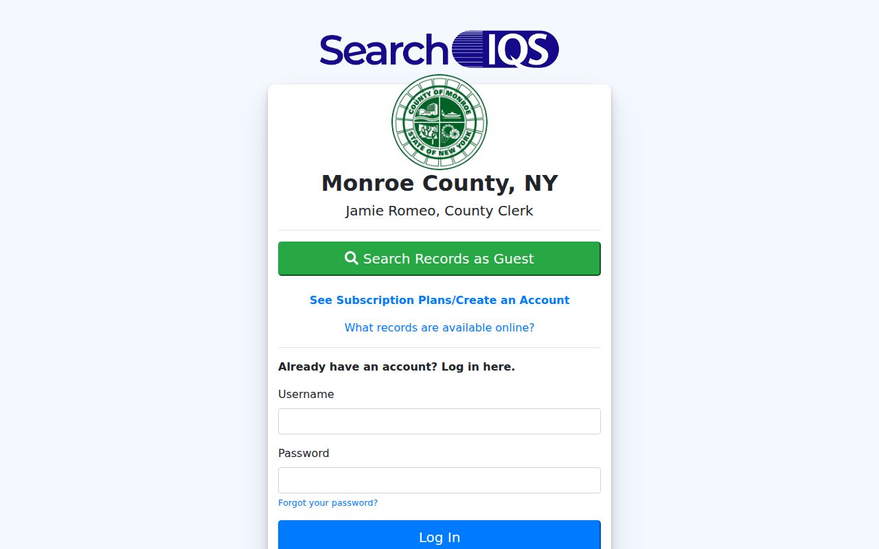
The image reinforces the key distinction: an index search may be free, while an online deed image has a different access rule than an image viewed at a public terminal.
Rochester Street Records by Address
Each address-keyed source answers a narrow question. Combining them makes a street-by-street record trail more useful and less likely to confuse a mailing route with a residence. The table separates property evidence, map evidence, municipal context, and historical address evidence. For a prior household search, the historical collection is covered in more depth on the Rochester city directory page.
| Address record | Local keeper | Useful result | How to reach it |
|---|---|---|---|
| City property record | City of Rochester | Situs, owner, SBL, assessment, sale, zoning, code tabs | Public Address, Owner, or SBL search |
| County parcel card | Monroe RPTS | Parcel ID, municipality, values, improvements, sales reference | Public property report |
| Parcel map | Monroe GIS | Polygon, boundaries, ZIP overlay, centerlines, adjoining parcels | Public browse and parcel click |
| Recorded land instrument | Monroe County Clerk | Parties, instrument date and type, book/page, legal description | Guest index, terminal, subscription image, or Clerk copy |
| Street register and field cards | City Archives | Street changes; field-card clues for 1927 to 1980 | Appointment or records request |
| House and address directories | Rochester Public Library | Historical address-to-occupant entries | Digital collection and local-history access |
A current owner entry, a past transfer party, and a directory occupant are separate facts. Label each one by source and year before comparing a whole street.
Rochester Street Directory Numbering
Rochester's major 1884 to 1885 street renumbering can make a valid older directory result seem wrong. The County Historian warns that many numbers changed for consistency. Search both the old and modern number when the time period crosses that change. The City street register, which covers street openings, dedications, names, and changes from 1834 to 1921, supplies a route for translating the address.
- Parcel
- A mapped piece of land with an assessment identifier. It may be changed by a split or merger.
- Situs address
- The physical address assigned to a parcel, distinct from a tax mailing address.
- Plat
- A recorded map that sets out lots, blocks, streets, or subdivision geometry.
- Criss-cross directory
- An address-ordered section that links a historical street number to listed occupants.
When names or numbers conflict, preserve the street spelling, directional prefix, unit notation, legal description, and parcel ID. A search based only on a modern number can merge two different places.
Note: A postal label, a current street number, and a deed description can refer to the same place in different ways.
Rochester Street Directory History
Rochester Public Library's digitized directory collection begins with 1827 material, but it is not an uninterrupted annual run. The library's house-directory supplement covers 1892 through 1920 and is arranged for address-to-occupant work. Beginning in 1922, the main city directory includes an address or street section. Start with the address section, then use the alphabetical side of the same volume to capture the additional notation that year provides.
Historical results require a little skepticism. RPL notes spelling variation, compiler omissions, children who were not listed, no fixed address, city-limit changes, and page numbers in a PDF that may not match the printed book. A death date can appear in the following year's volume, and later entries may place a wife's name in parentheses. Those limits explain why an address result is evidence of a dated listing rather than proof of a continuous household.
Rochester Street Code Records
City Property brings address-linked municipal context into the same search path through Last Sale, Zoning, Code Enforcement, Nuisances, Water, and tax-exemption tabs. The Bureau of Zoning and Permitting is the city route for building permits and zoning compliance. These materials can help date an alteration or identify a municipal case, but the research did not verify a complete historical permit search or a public code-case field list. Treat an unverified portal field as unknown rather than filling it in from assumption.
For a historical building question, City Archives field assessment cards may add prior owner or resident clues, drawings, and photographs for the 1927 to 1980 period. They are accessed through the archive route rather than a guaranteed public street search. Municipal context can corroborate a property trail, but it does not establish a complete current household.
Note: Mark code, tax, and water items by their source date because the city notes that some boundary and zoning updates lag.
Rochester Street Directory Limits
A street search does not disclose every person associated with an address. Assessment systems show parcel and assessment information, while the voter self-lookup is reserved for a registrant's own registration and poll-site status. Utility customer lists are not available through these property portals. Driver-license address information is protected by the federal Driver's Privacy Protection Act. A tax mailing address may belong to an owner, representative, or entity somewhere else, so it is not a confirmed personal residence.
New York's Address Confidentiality Program and the confidential-voter process also protect qualifying addresses or registration records. Voter-file requests have election-purpose restrictions, and sealed or redacted court material has its own limits. If a record appears wrong, contact the original custodian with the parcel, case, or index reference rather than repeating the information elsewhere.
Lawful personal research. Rochester street and parcel records must never be used to stalk, harass, threaten, follow, or intimidate a person. New York stalking and harassment laws apply even when an underlying record is public.
Rochester Street Directory Search Log
A short address log keeps a long street search reproducible. Record the exact modern address, historic address or name, SBL or parcel ID, municipality, ZIP overlay, source date, last-sale book/page, deed parties, and the status of every lead. Mark whether a result identifies a parcel, recorded party, directory occupant, or map feature. That distinction is the best guard against turning related records into an unsupported claim about a person.
For an older address, add the directory volume and printed page, not just a PDF page. For a land record, add the legal description and access channel. The log also makes it easier to return to the Clerk, library, or archive when a numbering change breaks the first search.